
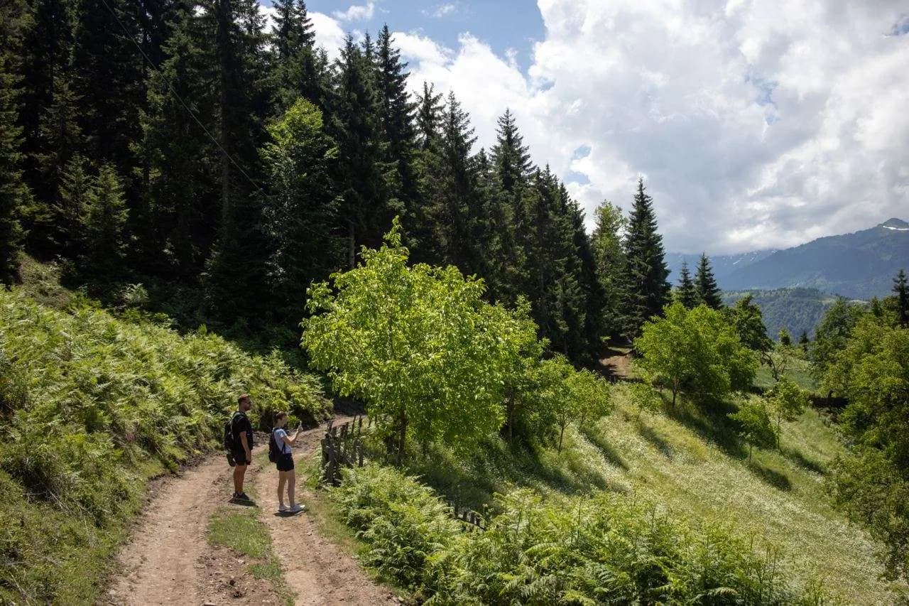
The Green Hill
The first half of the Skhalta route: two easy hours to a hilltop made for a picnic.
Time
2 h
Difficulty
Easy
Climbing
126 m
Start
Upper exit of the camp
The walk
This short route is perfect if you are not up for a strenuous hike but still want some physical activity, good photos, and time to relax in a beautiful setting on a green hill.
Since the route is easy and not too far, bring some snacks and a rug for a picnic at the end. If you are looking for more of a challenge, take the full route to the Skhalta monastery instead.
What you get
- A great photo spot early on the walk
- A green path along a picturesque fence, leading into the forest
- A fern field, beautiful in summer and vibrant during autumn
- A green hilltop where you can sit in the shade, with mountain views and cows grazing below
Step by step
Start at the upper exit of the glamping site and turn right. Follow the yellow markers leading to Skhalta monastery.
You will soon reach a great photo spot. Check the map below for its location.
Continue along the wide road, enjoying views of fields and forests, until you reach a crossroads with a yellow marker. Take the upper (left) road and head into the forest.
At the next fork, follow the yellow sign and take the left path again, towards Skhalta monastery.
The road becomes a lovely green path along a picturesque fence. This path leads into the forest, where the scent of pine trees on a sunny day is incredible.
The trail ends in a fern field, which is beautiful in summer and vibrant during autumn. Though the path seems to end here, keep going a bit further through the ferns and you will see it continues.
Finally, the green path leads you to a stunning green hill. Here you can sit on the rocks or grass in the shade of trees, enjoying views of the mountains and cows grazing below. This spot is perfect for photos, a picnic, or just relaxing.
Retrace your steps to return.
Before you go
- There is a section with a narrower path, but there is no risk of falling.
- Due to the construction of a new road, parts of the trail might be muddy, especially after rain.
- The trail mostly passes near villages, so encountering wild animals is unlikely.
What to bring
Any comfortable clothing will do. Just make sure to wear comfortable footwear suitable for potentially muddy conditions.
Open the route on your phone
komoot and AllTrails need a signal. The pins open in Organic Maps or MAPS.ME, which work offline, so download the area before you leave the wifi.
Organic Maps and MAPS.ME also show far more paths up here than the ones we have written up - old village tracks, forest roads and ridge lines - so you can put a walk together yourself.
On the route
Before you set off
Tell us where you are going
Message reception with the route and roughly when you expect to be back. We will lend you a map, check the weather with you, and send a guide if you want one.